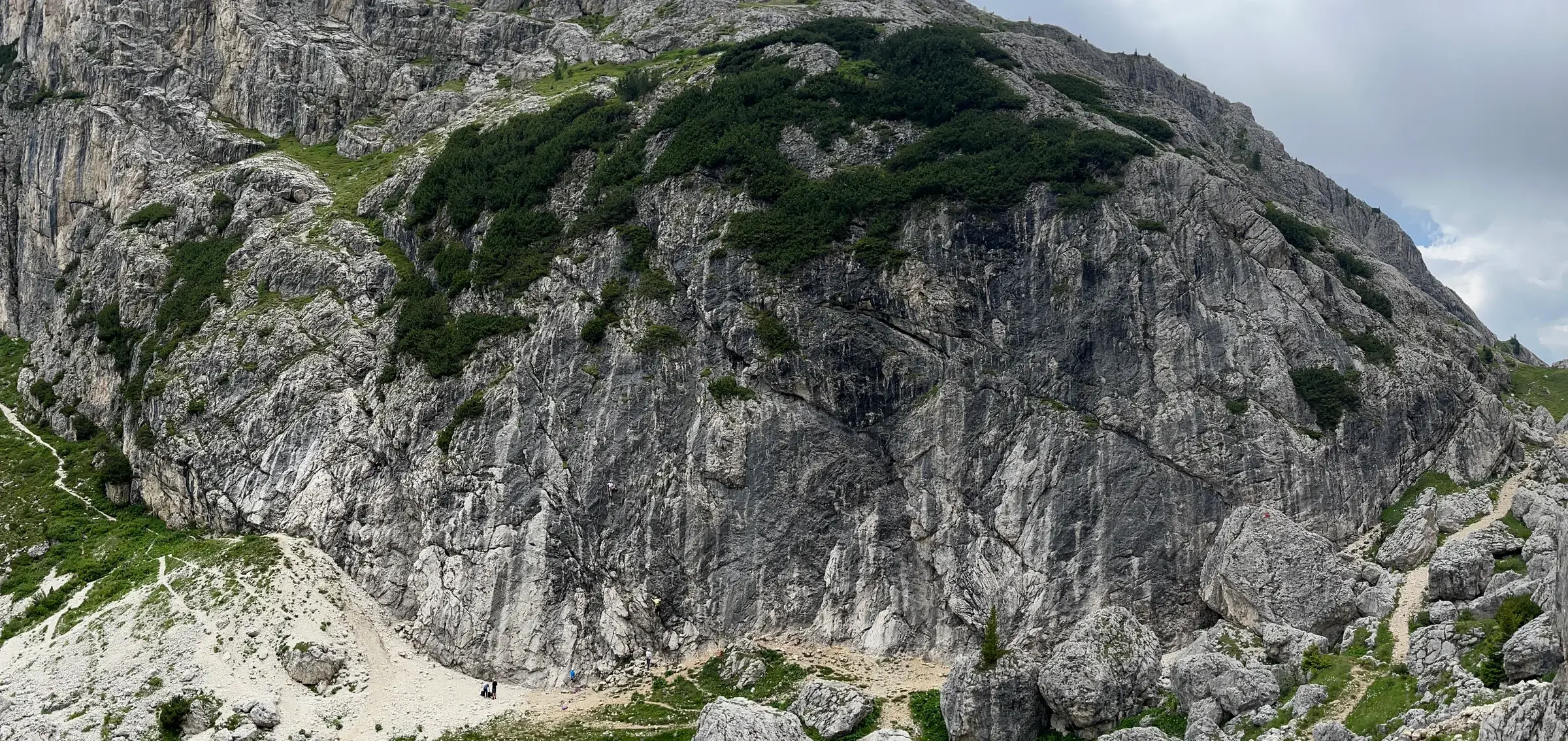

An online climbing guide may disappear with the server hosting it, yet the crag is likely to remain exactly where it was. OpenClimbing begins with that mismatch: information about the place should not depend on whichever website happens to display it.
Routes and crags live in OpenStreetMap, topo photographs go to Wikimedia Commons, and the application itself is GPL-3.0.3 4 OpenClimbing could shut down tomorrow without taking all of that work with it, because the shared material already has somewhere else to live.
Jan Václavík presented OpenClimbing 2.0 on August 11, 2026, and the GitHub release followed on August 12.1 2 The release adds plenty of features, although the more useful idea sits underneath them: a specialist climbing interface does not need to lock the topo inside itself.
Edit the crag
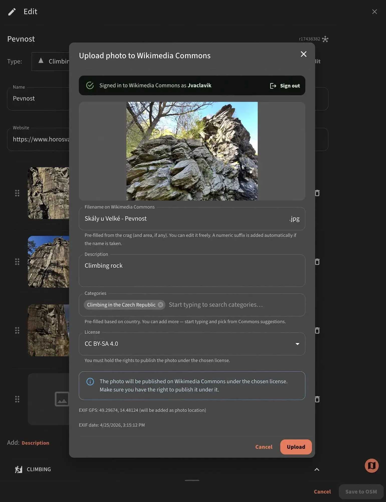
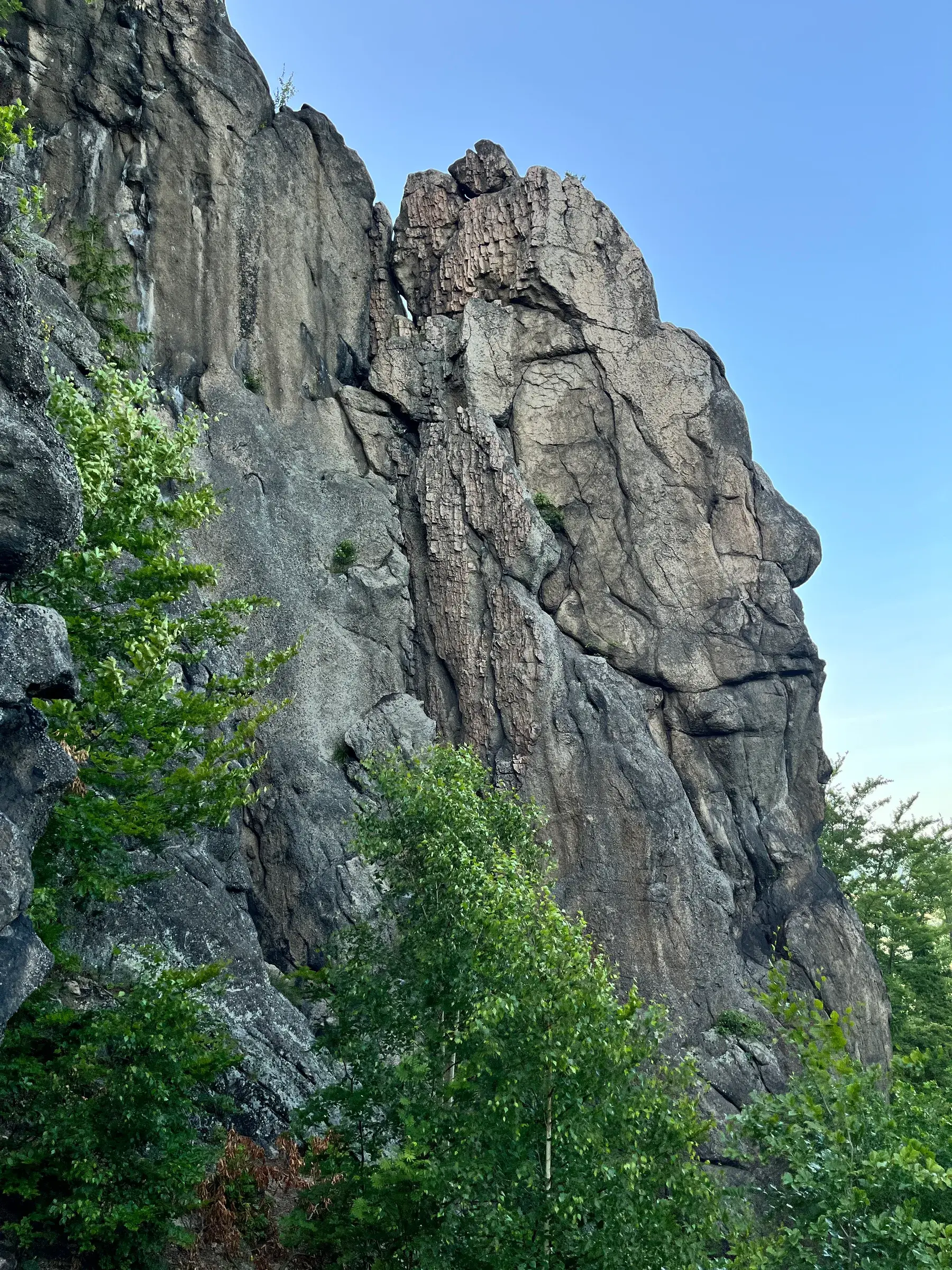
OpenClimbing displays areas, crags and routes, converts grades and draws climbing lines over photographs. Version 2 also sends edits the other way: a climber may update a route from the application, upload a photograph to Commons and draw its path directly over the image.1
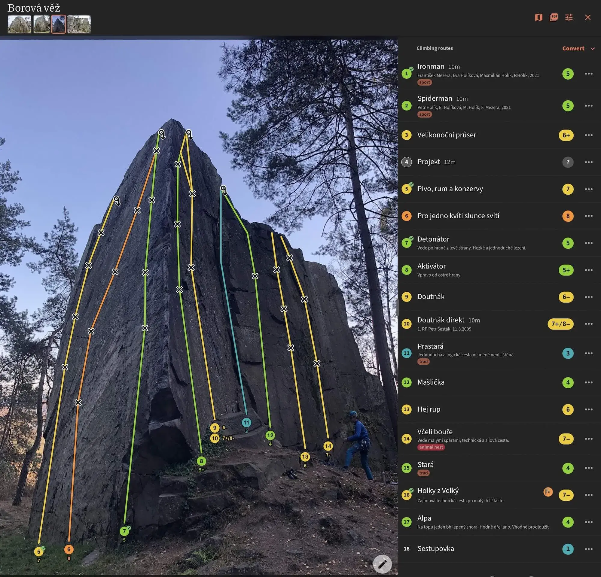
Václavík reports almost 40,000 routes, more than 6,000 routes drawn on photographs, and over 1,000 climbing areas across 31 countries. The figures come from OpenClimbing itself on August 11 and have not been independently verified.1
The difference from many online guides becomes obvious when someone fixes a route position: the edit updates OpenClimbing, but because it lands in OpenStreetMap, the same geography is available to another website, a climbing club and tools that do not exist yet.3 4

The useful limit
OpenStreetMap can store the crag without solving the specialist part of the job. Its general-purpose editor knows nothing about Fontainebleau grades, sit starts, rock type, anchors or photographs with several routes crossing the same wall. OpenClimbing supplies that climbing-specific interface while the underlying objects stay shared.1 4
The logbook shows where the open layer stops, because ascents, styles, partners and statistics are personal entries, separate from shared geography. Václavík says those ticks stay in OpenClimbing's own database and connect to the climber's OpenStreetMap account.1 Being open source does not mean throwing every last field into OSM.
Then there are features a general cartography tool would have little reason to build. OpenClimbing uses terrain to estimate sun and shade; the release history documents a custom DEM ray-marching shader for casting those shadows.2 It even contains an experimental in-browser bolt detector intended to help prepare photo topos.1 2

When the network loses
The feature I like most in this release is much less fancy. OpenClimbing can export an area or crag as a PDF guide, with a map, routes, grades and paths drawn over photographs.1 2
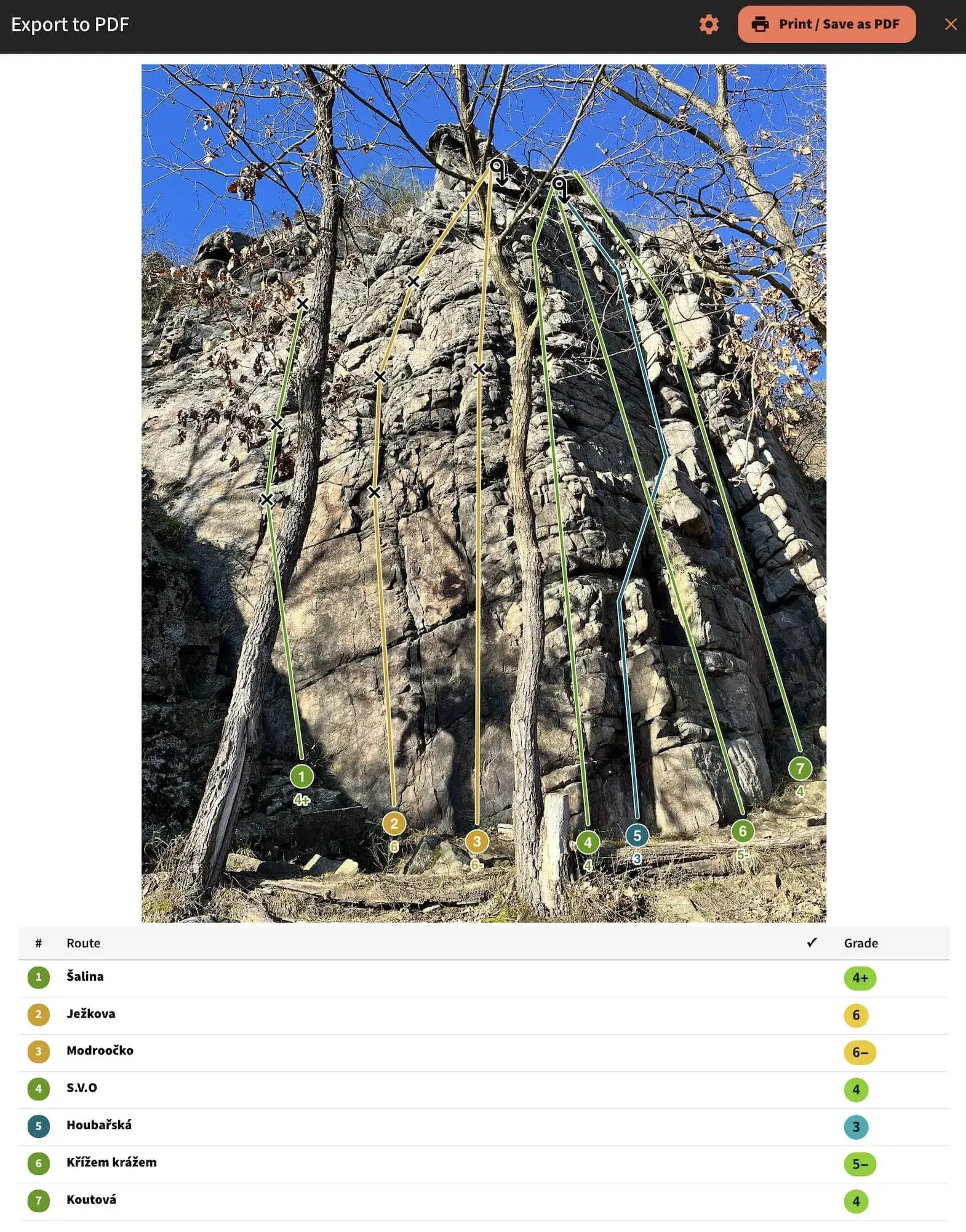
The PDF feels almost retro, and that is useful here: prepare it before leaving, keep it offline, send it to someone, print it if necessary, then forget about the nearest mobile mast when reception disappears at the bottom of the cliff.
The PDF does not replace the interactive view. It acknowledges a basic field condition instead: connectivity becomes unreliable in exactly the place where the information matters. For an outdoor tool, that small retreat from the perfect interface is worth more than a spectacular feature that dies in the car park.
Open, not infallible
There is still the less glamorous work. Someone has to place routes, verify OSM relations, choose photographs, draw paths and come back to fix mistakes. Almost 40,000 reported routes tell us very little, by themselves, about whether a particular crag is complete or current.
Open information sometimes goes stale and sometimes is simply wrong. The useful difference is that fixing it need not wait for the team running the site: several people may improve the same object, after which several interfaces get the benefit.
OpenClimbing becomes interesting precisely because ownership of the cartography and photographs is not the product. Its identity comes from the work around that material, from drawing a route for a climber to producing the offline PDF, yet the site itself remains replaceable. For a topo built on shared infrastructure, replaceability is a fairly healthy property.