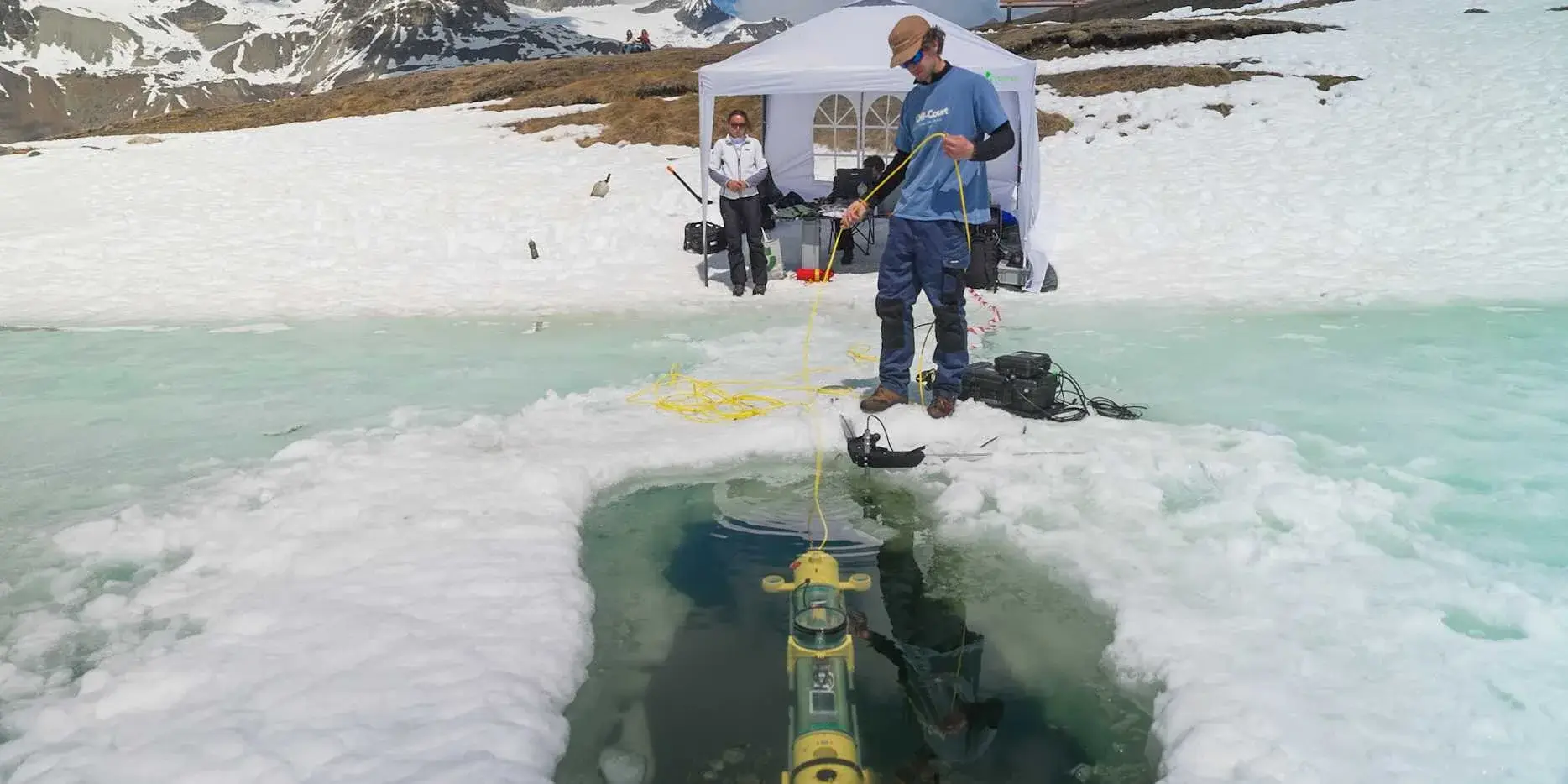
The first diagram is elegant. Send a sonar pulse toward the ice, catch one reflection from its lower face and another from its upper face, measure the separation and obtain thickness directly. POLARIS is interesting because the field refused that elegant diagram.2
The underwater robot was developed by an ETH Zurich student team to map ice thickness from below, avoiding the awkward requirement that people walk onto the surface they are trying to prove safe.1
Noise wins
According to the project account summarized by Hackaday, the sonar signal proved too noisy for the required measurement accuracy. The team changed methods. The robot instead touches the underside of the ice and uses water pressure to estimate its depth, from which thickness can be reconstructed.2
That less elegant measurement requires substantial robotics around it. POLARIS is slightly positively buoyant, uses concrete ballast to tune its center of gravity and has six thrusters for six degrees of freedom. An onboard Jetson supports autonomous operation. Positioning combines several sensors: a GPS antenna can recover a fix when the robot reaches the ice, while an acoustic system and three hydrophones help locate it underwater.2
The replacement method has its own limitation. Snow can load an alpine ice sheet, push it downward and allow a new layer to form above. A pressure-derived depth can then describe the total stack without perfectly isolating the structural layer that matters most.2
That sequence is close to a manual for useful prototyping. The first measurement mechanism was physically plausible. Field testing showed that plausible was not the same as usable. The team did not add more explanation to defend the sonar. It moved the problem to pressure measurement and documented the next limitation.
Lost under ice
A thickness measurement is useful only if you know where it was taken. Ordinary GPS disappears at exactly the moment the robot leaves its contact point beneath the ice, so the system combines references instead of looking for one magical sensor.2 When POLARIS reaches the underside, its upward-facing antenna can recover a GPS fix. Underwater, acoustic positioning takes over using pings received by multiple hydrophones.
That architecture also explains the six thrusters. The robot does not merely move forward. It has to control position and attitude in a volume, then dock cleanly against an irregular surface. Slight positive buoyancy assists that final movement instead of fighting it.2
ETH frames the broader goal as collecting under-ice thickness data useful for climate research.1 The prototype account is especially useful for makers because it captures an earlier moment: field geometry, sensor noise and snow begin breaking the clean assumptions of the laboratory.
The safety argument matters because conventional spot measurements often require drilling holes at multiple locations. They reveal only the points that were sampled and expose the operator to the surface being assessed. POLARIS does not yet erase every uncertainty, but moving the sensor underneath changes which parts of the measurement task can eventually be automated and mapped.1
A useful prototype is not the one that confirms the drawing. It is the one that makes the wrong drawing impossible to keep defending.